# Coordinate reference system
There are three ways of defining the used coordinate reference system:
1. EPSG -code
2. PROJ.4 -string
3. WKT version 1 -string
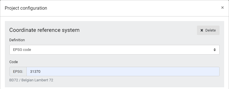
EPSG -code is a numberic value, which defines the coordinate reference system. If unsure which EPSG code is being used for the project, EPSG.io -web page is a great source to search for systems.
Project configuration - Defining CRS with EPSG -code
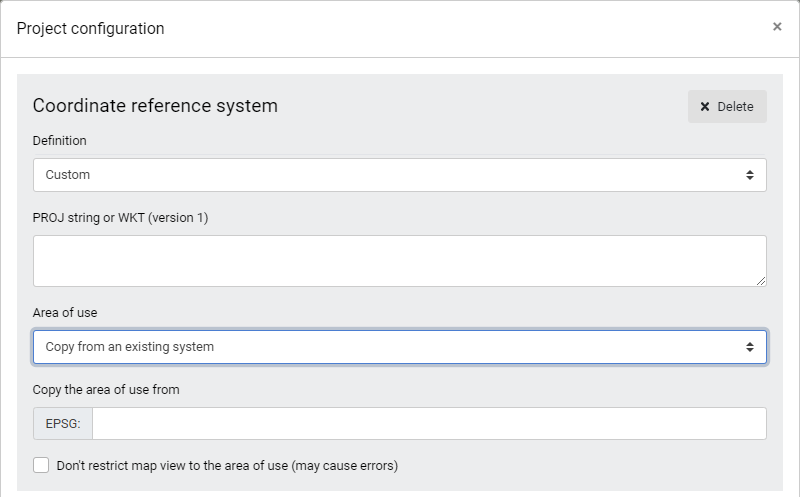
PROJ.4 and WKT allow custom localization for the coordinate systems, because it enables changes to the towgs84 -transformation values. PROJ.4 and WKT -strings are widely used by other similar systems. These can also be fetched from external web pages.
Area of use restricts the map and this allows the map interface to work faster.
Project configuration - Defining CRS with Custom definition